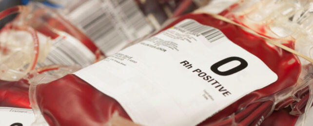
Health3 hours ago Enzymes Discovered in Gut Bacteria Can Change a Donor's Blood Groups Life-saving if it works.
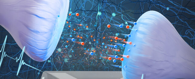
Scientists Have Created a Functional Brain Cell Based on a Mix of Salt And Water Physics 12 hours ago
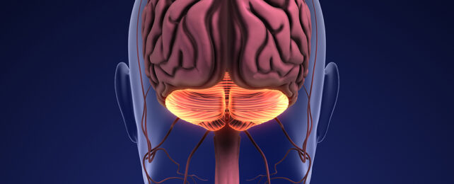
An Unexpected Function Discovered Inside The 'Little Brain' at The Back of Your Head Humans 13 hours ago
There's an Awkward Link Between Plastic Production And Pollution We're Not Considering Environment2 days ago
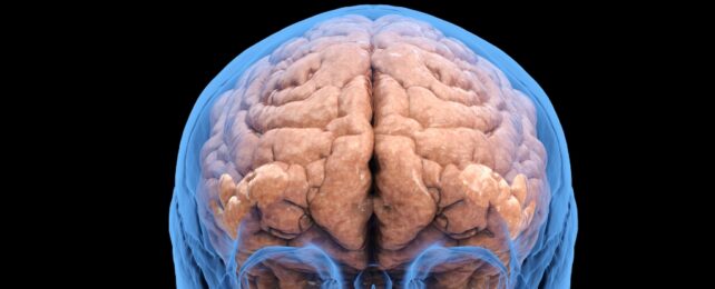
There Really Is Something Strikingly Malicious in The Way Cocaine Rewards Our Brains Health2 days ago