Space
Health
Environment
Humans
Tech
Nature
Physics
Society
Opinion
Explainer
About Us
Our Team
Follow Us
Daily Newsletter
Health
14 seconds ago
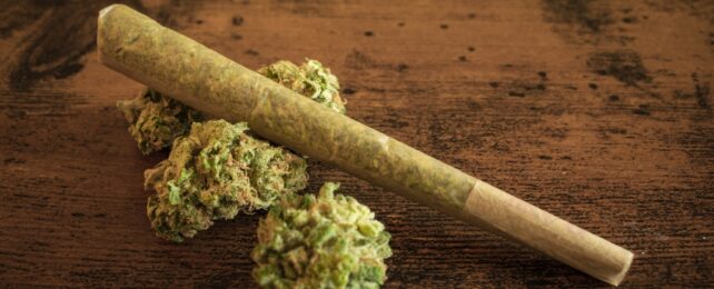
Cannabis Use Linked to Epigenetic Changes, Study Reveals
Here's what we know.
Trending News
It's Official: Scientists Finally Confirmed What's Inside The Moon
Space
3 days ago
Alcohol-Protective Genes Linked to Other Health Conditions, Scientists Discover
Health
2 days ago
For The First Time, Scientists Showed Structural, Brain-Wide Changes During Menstruation
Health
5 days ago
Latest News
Study Links Preference For Loud Cars to Some Unsurprising Personality Traits
Humans
2 hours ago
'Zombie Deer' Disease: Zoonotic Transfer Suspected After Two Human Deaths
Health
11 hours ago
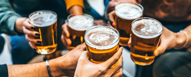
Ozempic-Like Drugs Could Help Manage Addiction to Drugs And Alcohol
Health
11 hours ago
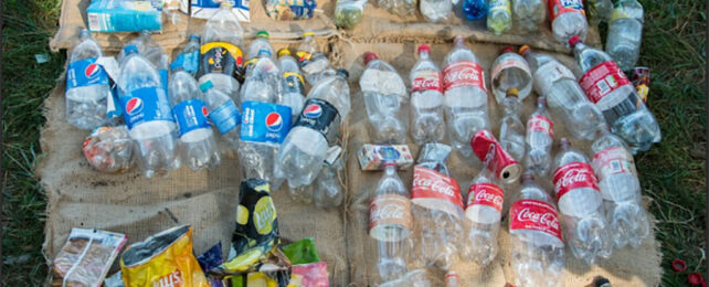
24% of Traceable Plastic Pollution Linked to Just 5 Corporations
Environment
13 hours ago
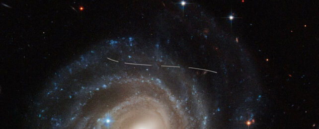
Over 1,000 New Additions to Our Solar System Were Hiding in Hubble's Archives
Space
22 hours ago
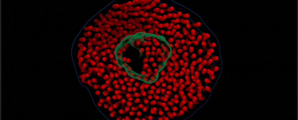
For The First Time, Scientists Capture The Protein-Lipid Dance on Video
Health
23 hours ago
Forget Billions of Years: Scientists Have Grown Diamonds in Just 150 Minutes
Physics
1 day ago
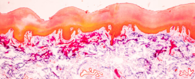
A Skin-Deep Wound Can Trigger Gut Bacteria Changes
Health
1 day ago
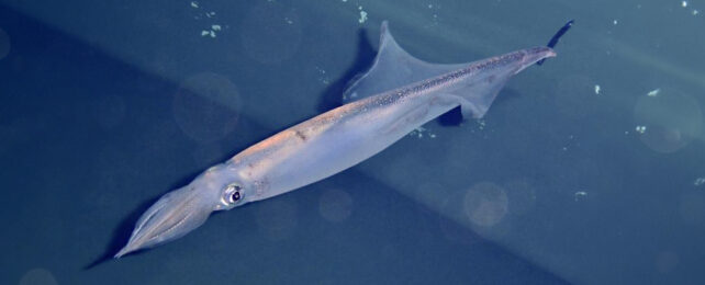
This Squid's Birth Month Dictates His Mating Strategy For Life
Nature
2 days ago
Bioluminescence Evolved in The Abyss 540 Million Years Ago, Study Finds
Nature
2 days ago
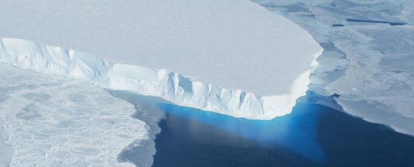
7,000 Years Ago, This Ice Sheet Was Smaller. Scientists Think They Know Why.
Environment
2 days ago
Alcohol-Protective Genes Linked to Other Health Conditions, Scientists Discover
Health
2 days ago
New Viral Variant Evolved Inside Man With Record COVID Infection
Health
2 days ago
There's One Reason For Feeling Unwell at Work That Almost Half of Us Hide
Health
2 days ago
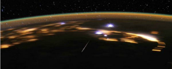
Lyrid Meteor Shower Peaks This Week: Here's Where, When, And How to Watch
Space
2 days ago
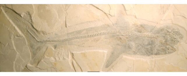
Stunning Remains of Great White Shark's Giant Ancestors Reveal a Surprising Diet
Nature
2 days ago
1
2
3
4
5
View Archive
1
2
3
4
5
6
7
8
9
View Archive
Get ScienceAlert news delivered to your inbox.
Get ScienceAlert news delivered to your inbox.